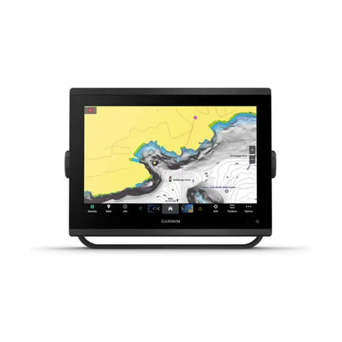

GarminMarine
9-Axis Heading Sensor
A 9-axis heading sensor delivering compass output at 10 Hz with typical accuracy of plus or minus 2 degrees across the full 0 to 360 degree range.
Enquire →
One stop shop for complete navigation & communication solutions.
Haiyang
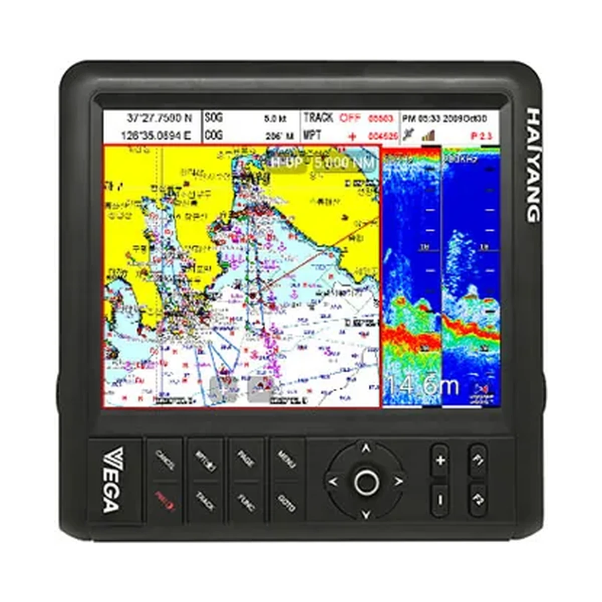
12.1 inch touch color Chart plotter/Fishfinder Android OS Full multi-touch Rotatable screen WPT 100,000 points Digital Fishfinder PDF Brochure
Technical
| Display Screen | 12.1 inch color touch LED backlight |
|---|---|
| Resolution | SVGA (800 x 600 pixels) |
| Power Supply | DC 12V ~ 36V (±10%) |
| Operation Temperature (Display Unit) | -15°C ~ +50°C |
| Operation Temperature (Antenna Unit) | -25°C ~ +70°C |
| Performance Standard | IMO Resolution MSC.112(73) |
| GNSS Receiver Capabilities | GPS L1 C/A code, GLONASS L10F, QZSS L1 C/A code, Galileo E1B/E1C/L1 |
| Number of Channel | 52 channel over |
| Horizontal Positioning Accuracy (Autonomous) | 2.5m (CEP 50%) |
| Sensitivity | Acquisition -148 dBm, Tracking -165 dBm, Reacquisition -162 dBm |
| Nav Update | 1Hz, 4Hz |
| Support | DGPS, SBAS (EGNOS, WAAS, MASA, GAGAN) |
| Display Method | Mercator projection |
| Display Mode | True motion/N/S/E/W up/Course up/Head up |
| Latitude Limits | Between 85°N to 85°S |
| Map Scale | 0.05NM to 1,500NM |
| Map Datum | WGS-84 |
| Waypoint | 100,000 points (16 colors and 16 icons selectable per point with name tag, 8 alphanumeric characters) |
| Track Point | 50,000 points (2 types) |
| Route | Max capacity 100 Routes (20 WPTs per Route, each with name tags of 8 alphanumeric characters) |
| Draw Point | 1,000 points |
| Area Name | 1,000 points |
| Chart Data | HY-MAP/C-MAP 4D/Navionics |
| Output Data | NMEA-0183 |
| Input Data | NMEA-0183 |
| Alarm | Arrival, Anchor, XTE, Interval timer, Userline |
| Fishfinder Display Mode | Normal (single/dual-frequency), bottom-lock, Bottom-zoom, A-scope |
| Fishfinder Frequency | 50 and 200 kHz |
| Fishfinder Output Power | 600W / 1.5kW |
| Range Speed (600W) | 2.5m ~ 600m |
| Range Speed (1.5kW) | 2.5m ~ 1,500m |
| Image Speed | Fixed 8 speeds (4/1, 2/1, 1, 1/2, 1/4, 1/8, 1/16, 1/32) and stop |
| Interference Rejection | 3 levels |
| Noise Rejection | 4 levels |
| Function | Gain (auto/manual), Range (auto/manual), Shift (auto/manual), White/Black line, Support speed sensor, Water temperature, Time machine, Contrast |
Overview
Pegasus(Android Smart APP) After user downloads “Pegasus APP” in Google play and connecting Vega through Bluetooth, it will provide more convenient operating and controlling Vega.
Questions
It has a 12.1-inch color touchscreen with LED backlight, at SVGA resolution (800 x 600 pixels).
The VG-12CF's GNSS receiver tracks GPS L1 C/A code, GLONASS L1OF, QZSS L1 C/A code and Galileo E1B/E1C/L1 across more than 52 channels, with DGPS and SBAS (EGNOS, WAAS, MSAS, GAGAN) augmentation support and a navigation update rate of 1Hz or 4Hz.
The built-in fishfinder runs at 50 and 200 kHz with 600W/1.5kW output power. Range is 2.5m to 600m at 600W, extending to 2.5m to 1,500m at 1.5kW.
It supports HY-MAP, C-MAP 4D, and Navionics chart data.
Related
A 9-axis heading sensor delivering compass output at 10 Hz with typical accuracy of plus or minus 2 degrees across the full 0 to 360 degree range.

A dual-channel AIS transceiver operating on both marine AIS channels with 2 W output power and a wide 9 to 40 V DC supply range.
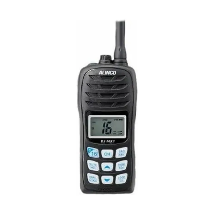
SPECIFICATIONS Frequency range : Tx : 156.025-157.425MHz Rx : 156.050-163.275MHz Frequency stability : ±10ppm Antenna impedance : FM (16K0G3E) Rated voltage : 50 Ω Current Consumption : 0.35A (Max audio output) 1.5A (TX / 5W) / 0.9A (TX / 1W) (Battery life up…
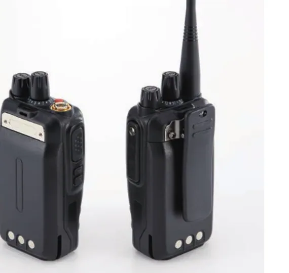
The Alinco DJ-VX11 is a waterproof VHF marine handheld radio rated IP67, offering 5W/2W/0.5W selectable output and around 230g weight including battery and antenna.
Learn more
This site uses only the cookies required for it to run, nothing for tracking or advertising. See our privacy policy.