
Almost every question about what radio equipment a SOLAS vessel must carry resolves to one prior question: which sea area does she trade in? The Global Maritime Distress and Safety System does not set a single equipment list for all ships. It divides the world's waters into four areas according to what shore-based alerting infrastructure can actually reach a vessel there, and then requires equipment appropriate to that coverage. Get the area wrong and you either overspend on a fit-out the vessel does not need, or you fail a survey.
The four areas are defined by coverage, not by distance
This is the point most often misunderstood. The sea areas are not fixed rings drawn at set mileages from the coast. Each is defined by the presence of a particular kind of continuous distress alerting service, so the physical extent of an area varies with the coast stations and satellites that serve it, and an administration declares the areas within its waters. The nautical mile figures quoted below are typical working approximations, not part of the definitions.
- Sea area A1 is the area within radiotelephone coverage of at least one VHF coast station where continuous VHF DSC alerting on channel 70 is available. In practice that is usually somewhere in the region of 20 to 30 nautical miles from the station, since VHF is a line-of-sight service.
- Sea area A2 is the area, excluding A1, within radiotelephone coverage of at least one MF coast station where continuous DSC alerting on 2187.5 kHz is available. Working figures in the region of 100 to 200 nautical miles are commonly quoted, though the real extent depends on the station and on propagation.
- Sea area A3 is the area, excluding A1 and A2, within the coverage of a recognised mobile satellite service supported by the ship earth station carried, in which continuous alerting is available. Historically this meant the geostationary Inmarsat footprint, roughly the band of latitudes outside the polar regions; the wording now accommodates more than one recognised provider.
- Sea area A4 is simply everything outside A1, A2 and A3. In practice that means the high polar latitudes, where geostationary satellites sit too low on the horizon to be relied on.
What each area requires
The requirements are cumulative rather than alternative. A ship in A3 does not swap her VHF set for a satellite terminal, she carries both, because the system is built on the principle that every vessel at sea must be able to raise a distress alert by at least two separate and independent means, each using a different radiocommunication service.
- All areas: a VHF installation with DSC, keeping a continuous watch on channel 70 alongside radiotelephony, plus a satellite EPIRB, a NAVTEX receiver where the service is provided, search and rescue locating devices, and survival craft VHF handhelds.
- A2 and above: the VHF fit plus an MF installation with DSC watchkeeping on 2187.5 kHz.
- A3: the VHF fit plus either an MF/HF installation with DSC, or a ship earth station working through a recognised mobile satellite service, depending on which route the owner chooses.
- A4: the VHF fit plus a full MF/HF installation with DSC, since the satellite route is not dependable at those latitudes.
Availability is part of the requirement
Carrying the right boxes is not the whole obligation. The regulations also require that the equipment remains available, and they name three accepted methods of assuring that: duplication of equipment, shore-based maintenance, and at-sea electronic maintenance capability. Ships trading in A1 and A2 may use any one of these, or a combination, as approved by the administration. Ships trading in A3 and A4 must use a combination of at least two. That distinction has a direct commercial consequence, because an owner moving a vessel into deep-sea trade may find the fit-out cost is driven as much by the availability rule as by the equipment list itself.
Matching the fit-out to the area
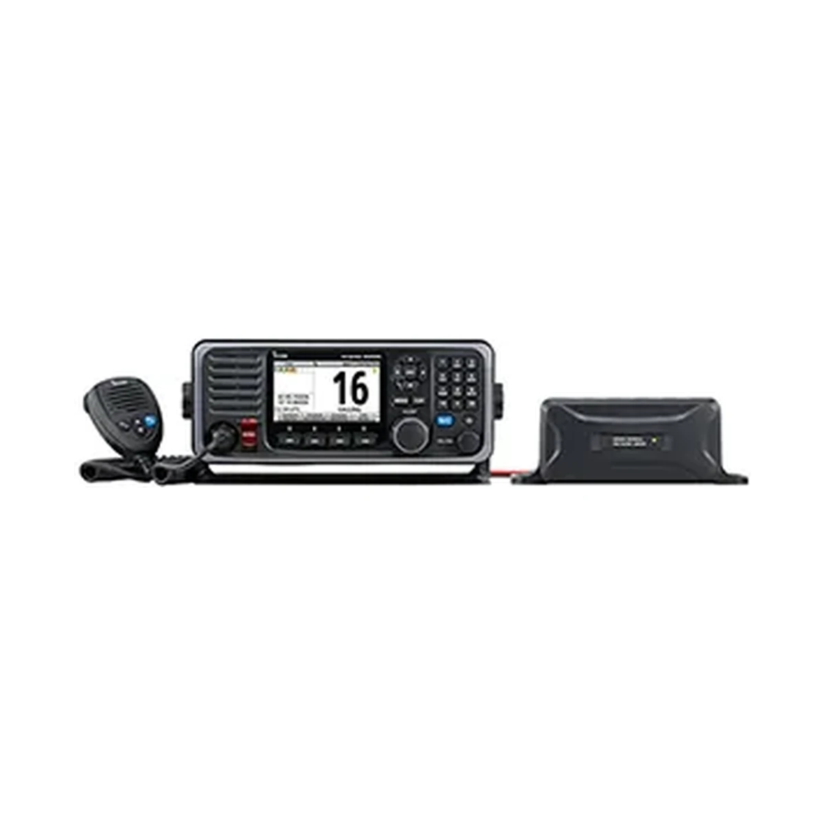
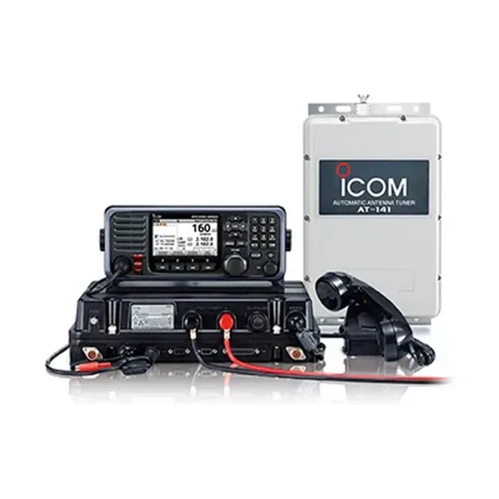
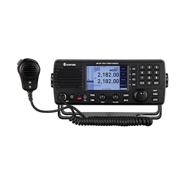
On the VHF side, a GMDSS installation needs a set built and type-approved for the role rather than a general-purpose radio, which is why the Icom GM600 is specified with Class A DSC to ITU-R M.493-13 and MED "Wheel Mark" approval. For MF/HF, the Icom GM800 transmits across the marine bands with DSC on the six standard distress frequencies of 2.1875, 4.2075, 6.312, 8.4145, 12.577 and 16.8045 MHz, and the Samyung SRG-150DN covers 1.6 to 27.5 MHz at 150 W with DSC and NBDP telex. NAVTEX reception, required wherever the service is provided, is handled by a dedicated receiver such as the Samyung SNX-300 on 518 and 490 kHz. Survival craft radios are a separate item again: the Icom IC-GM1600 is built to IMO Resolution MSC.149(77), waterproof to 1 m and rated for more than eight hours of operation even at minus 20 degrees Celsius.
If you are unsure which area a vessel actually trades in, resolve that before you specify anything, and take the declared areas from the administration rather than from a chart estimate.