
Radar and AIS are often described as alternatives because both put targets on a chartplotter, but they work on entirely different principles and fail in entirely different ways. Understanding what each one cannot see is the fastest route to deciding what your vessel needs.
Radar detects, it does not identify
Radar transmits a microwave pulse from a rotating antenna and measures the echoes that come back, giving range and bearing to anything reflective within line of sight. It does not care whether the target is a ship, a buoy, a rain squall, a rock or a coastline, and it does not care whether that target has any equipment aboard at all. That is its great strength. An unlit fishing boat with no electronics, a floating container or a headland in fog will all appear.
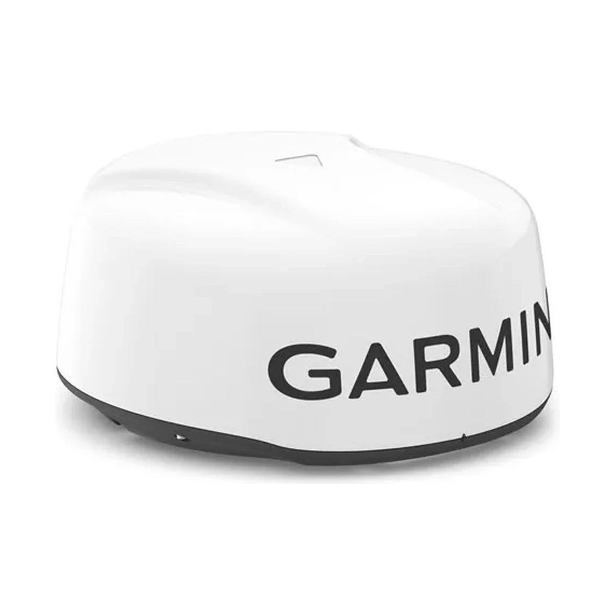
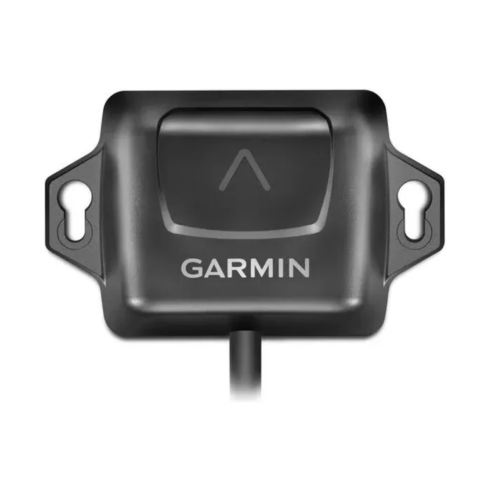
Its weaknesses follow from the same physics. Radar is limited to line of sight, so a vessel behind an island or around a bend in a river is invisible. Small targets with poor reflective properties, such as a wooden or GRP hull in a sea state, return weak and intermittent echoes. Heavy rain produces clutter. And a radar contact tells you where something is, not what it is, who it is or what it intends. Tracking has to be added: MARPA target tracking on a unit such as the Garmin GMR 18 xHD3 Dome requires a separately fitted heading sensor before it can compute a target's course and closest point of approach.
AIS identifies, but only cooperating vessels
AIS works the other way round. Each equipped vessel transmits its own identity, position, course and speed on two dedicated VHF channels at 161.975 MHz and 162.025 MHz, and every other AIS-equipped vessel in range receives it. The information is far richer than a radar echo: vessel name, MMSI, heading and rate of turn arrive as data rather than being inferred. Because it is a VHF signal rather than a reflection, it also works round obstructions to a degree that radar cannot, which is why AIS is so useful in rivers, narrow channels and busy approaches.
The limitation is equally clear. AIS shows you only vessels that carry AIS and have it switched on and correctly programmed. It shows you nothing about a small craft with no transponder, a navigation hazard, a floating obstruction or the shoreline. A transponder with stale static data, or one left powered down, is worse than useless because it removes a vessel from a picture the watchkeeper has come to trust.
Where they overlap and where they do not
Neither system is a subset of the other. In practice a bridge with both gets a complete picture in a way that neither gives alone: radar for everything physically present, AIS to name and track the commercial traffic and to see round corners. This is why modern multi-function displays overlay AIS targets on the radar image. A display such as the Garmin GPSMAP 923xsv carries NMEA 2000 and NMEA 0183 ports for the AIS feed and a Garmin Marine Network port for the radar, and presents both on one screen.
Deciding for a specific vessel
Start with what the vessel is legally required to carry, since AIS is a carriage requirement under SOLAS Chapter V, Regulation 19 for ships of 300 gross tonnage and upwards on international voyages, cargo ships of 500 gross tonnage and upwards not on international voyages, and all passenger ships irrespective of size. Beyond the mandate the choice is operational. A vessel working coastal waters in fog, at night, or among unlit small craft gets more safety per rupee from radar. A vessel operating mainly in busy shipping lanes and port approaches, where the traffic that matters is commercial and therefore transmitting, gets more from AIS, and gets it at a fraction of the installation cost and power draw.
If the budget only allows one and the vessel is small, AIS is usually the more practical first step, and it is worth remembering it works in both directions. A receive-only unit such as the AMEC CYPHO-150 shows you nearby traffic but leaves your own vessel invisible to it. A Class B transceiver such as the AMEC B620 at 2 W, or a SOTDMA Class B unit such as the AMEC WideLink B650 at a selectable 5 W or 1 W, means the large ship whose radar may not be resolving your hull can see you by name on its own screen. On vessels caught by the SOLAS requirement, the equipment fitted must be a type-approved Class A transponder such as the AMEC A750.
Sizing radar if you fit it
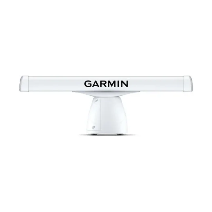
Radar choice comes down to antenna type. A radome such as the GMR 18 xHD3 Dome packs a 17 inch antenna into an enclosed housing at 4 kW with a 5.2 degree horizontal beam width and a 48 nm maximum range, which suits smaller vessels and constrained mounting positions. An open array such as the GMR 434/436 xHD3 uses a longer 4 ft or 6 ft antenna to achieve a much narrower 1.8 or 1.1 degree horizontal beam, reaching 72 nm and separating closely spaced targets far better, at the cost of size, weight and mounting height. Narrower beam width, not raw transmit power, is what gives you bearing discrimination between two vessels close together.