
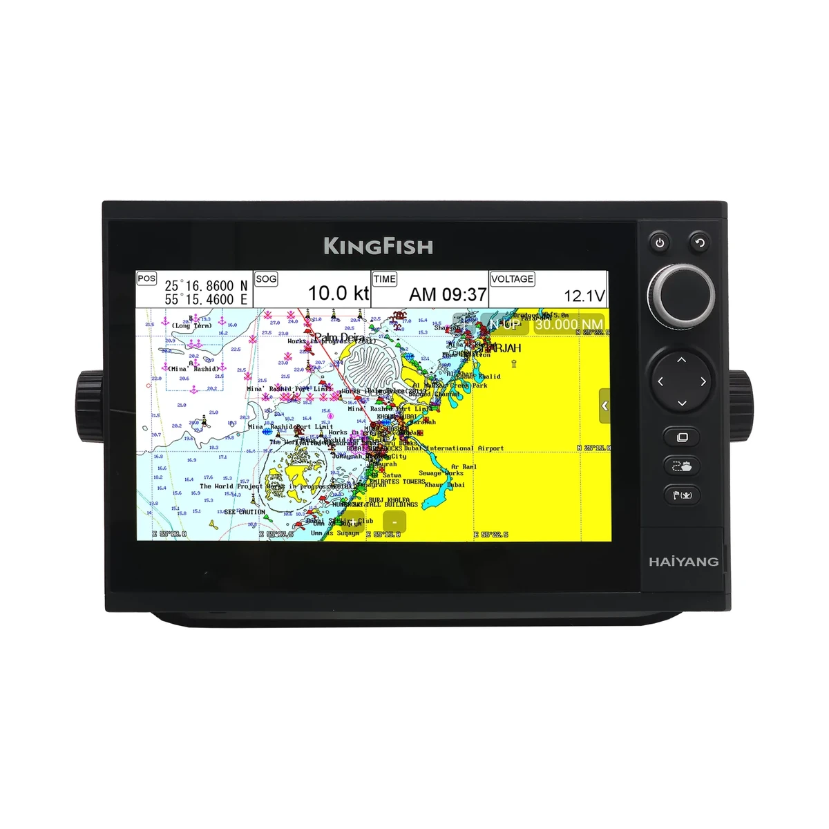
Open the specification sheet of almost any marine chartplotter and you will find a line reading something like 2.5m (CEP 50%). It appears on the Haiyang HD-50CF, the HD 1000CF, the HD-880CFA and the KS-101C, and in a slightly different form on AIS equipment such as the AMEC A750, which quotes a GNSS position accuracy of 2.5m CEP and 2.0m CEP with SBAS. The figure is repeated so often that it tends to be read as a promise. It is not. It is a statistical description of a receiver's error distribution, and understanding what it does and does not claim is the difference between trusting the screen appropriately and trusting it too much.
What CEP measures
CEP stands for circular error probable. It is the radius of a circle, centred on the true position, that contains half of the fixes the receiver produces. A 2.5 m CEP figure therefore says that fifty per cent of the positions reported land within 2.5 m of where the boat actually is. It says nothing about the other half, except that they fall outside that circle. Some of them will be a little outside it. A few will be well outside it.
This matters because the intuitive reading, that the receiver is accurate to 2.5 metres, is roughly twice as optimistic as the specification. If you want a figure that covers the great majority of fixes rather than half of them, you need a 95 per cent measure such as 2DRMS or R95, and as a rough working rule that figure is a little over twice the CEP number for a typical receiver. Manufacturers are free to quote whichever measure they prefer, which is exactly why two receivers quoting different-looking numbers may perform almost identically. Always check which statistic is being quoted before comparing two sets.
What the figure quietly assumes
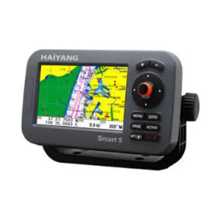
A CEP figure is measured under favourable conditions: an open sky, a static or slow-moving antenna, a healthy constellation and no local interference. The Haiyang units quote their 2.5m figure specifically as autonomous horizontal positioning accuracy, meaning the receiver working alone from the satellite signals without any correction service. Real conditions degrade it. A GNSS antenna mounted under a hardtop, beside a mast or in the shadow of a superstructure sees fewer satellites and a worse geometry, and signals reflected off wet steel arrive late and drag the solution off. The antenna's siting is usually a bigger factor in the accuracy you actually get than the difference between one receiver's specification and another's.
What augmentation adds
Satellite-based augmentation systems broadcast correction data that lets a receiver compensate for ionospheric delay and satellite clock and orbit errors. The Haiyang chartplotters list support for DGPS and SBAS covering EGNOS, WAAS, MSAS and GAGAN, which is the Indian system, and Garmin's GPSMAP and ECHOMAP units list WAAS support alongside their GPS, GLONASS and Galileo reception. The improvement is real and shows up in the specifications: the AMEC A750 quotes 2.0m CEP with SBAS against 2.5m without it. For higher precision again, dedicated receivers do better. The Digital Yacht GPS160 is a 72-channel multi-constellation receiver quoting sub-1m accuracy typically by combining GPS, GLONASS, BeiDou and Galileo data.
Update rate is a different thing entirely
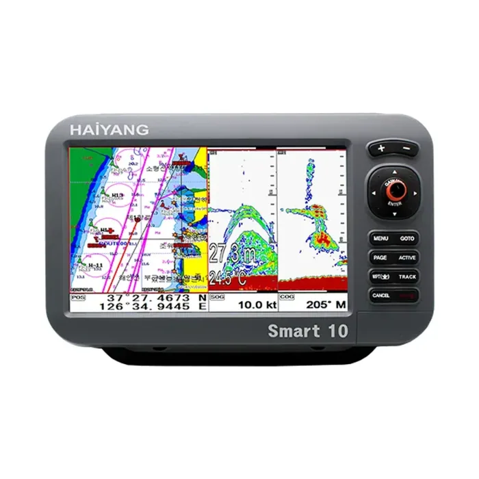
Do not read a fast update rate as a claim about accuracy. They are separate specifications answering separate questions. The Haiyang chartplotters update navigation at 1 Hz, the ECHOMAP UHD2 7" cv receiver runs at 5 Hz, and the GPSMAP 923xsv and 1223xsv at 10 Hz. A higher rate gives smoother course-over-ground and heading data and a less laggy vessel icon when manoeuvring, which matters when berthing or when the plotter is feeding an autopilot. It does not make each individual fix any closer to the truth.
The chart is usually the larger error
There is a final point that gets forgotten. Your position is plotted onto a chart, and the chart itself carries survey error. Many charted areas rest on surveys that predate satellite positioning, and the discrepancy between a charted feature and its real position can comfortably exceed anything your receiver contributes. Chartplotters plot on WGS-84, as the Haiyang specifications state for their map datum, but a chart compiled on an older datum or from an old survey will not line up perfectly with it.
- Treat 2.5m CEP as a good-conditions figure describing half of the fixes, not a worst case.
- Spend the effort on antenna siting before spending money on a more accurate receiver.
- Enable SBAS where the coverage exists, and check the specification says the receiver supports it.
- Never navigate close to a hazard on the strength of the plotted position alone, whatever the receiver claims.