
What navigation looked like before GPS
Before satellite navigation reached working fishing fleets, a vessel's position was established through dead reckoning, tracking course, speed and elapsed time from a known starting point, supplemented by landmarks, depth soundings and the accumulated local knowledge of experienced skippers. This worked, and generations of fishermen operated successfully with it, but it carried inherent, compounding error over a voyage, and returning precisely to a specific productive location, a wreck, a reef edge, a known depth contour, depended heavily on individual skill and memory rather than a repeatable, objective reference.
The 1999 shift
ASPL facilitated the adoption of GPS navigation systems among Indian fishermen in 1999, a year after introducing the technology to the Indian market more broadly, covered in the dedicated article elsewhere in this series. This placed GPS in the hands of a user group for whom positional accuracy translates directly into economic outcome, finding and returning to productive grounds efficiently, rather than being a general convenience.
Why this mattered specifically for fishing
A GPS receiver's core capability, marking a waypoint and returning to that exact position later regardless of weather, visibility or how much time has passed, addresses a problem dead reckoning and local knowledge could approximate but never solve with the same precision. A skipper who found a productive spot on one voyage could, for the first time, return to that same spot reliably on a future voyage without depending on visual landmarks or accumulated memory of exact bearings and timings.
The foundation for what followed
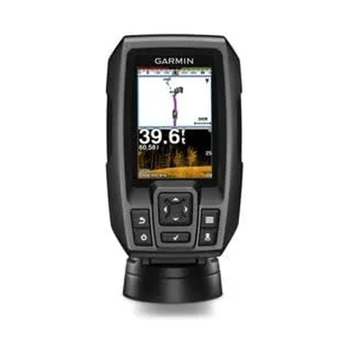
This early fishing fleet adoption sits ahead of ASPL's later, more institutional fisheries work: the government fisheries schemes for Andhra Pradesh and Goa in 2014, covered in more depth elsewhere in this series, built on more than a decade of prior experience equipping working fishing vessels that began with this 1999 milestone. It is also the direct ancestor of the combined chartplotter and fishfinder equipment, covered extensively in this catalogue's marine navigation content, that has replaced the standalone GPS receivers of 1999 with integrated navigation and fish-finding systems.
What this represents for ASPL's fisheries work today
- Over two decades of continuous experience specifically with working fishing vessels, not just general marine electronics, informs current fisheries-sector equipment recommendations.
- The practical, economic case for GPS accuracy that made the technology valuable to fishermen in 1999 is the same underlying case for the AIS, chartplotter and fishfinder equipment covered elsewhere in this catalogue.
- ASPL's fisheries-sector work has a documented history predating the government schemes and broader marine electronics catalogue that make up its current fisheries offering.
ASPL continues to supply and service navigation and fishfinding equipment for India's fishing fleets, a line of work tracing back to this 1999 milestone, now covering AIS, GMDSS and combined chartplotter-fishfinder systems across the Garmin and Haiyang ranges.