

Most descriptions of AIS stop at ships tracking ships. The system is broader than that. The same two VHF channels, 161.975 MHz and 162.025 MHz, also carry transmissions from fixed and floating infrastructure: buoys reporting their own position, shore stations broadcasting the location of a wreck, port authorities marking a temporary hazard. These are aids to navigation, AtoN, and to a vessel they appear as targets on the same display as everything else.
Three kinds of AtoN
AIS AtoN transmissions are broadcast using a dedicated message type that carries the aid's position, type and name, and they use identities from a reserved range so a receiver can tell an aid apart from a vessel. What varies is where the transmitter physically sits.
- Real AtoN. The transmitter is on the aid itself: a buoy, a beacon, a lighthouse or a platform. It reports its own GNSS position, which means it also reports when it has moved. A buoy that has dragged its mooring shows up as a buoy in the wrong place, which is information no chart can give you.
- Synthetic AtoN. The aid physically exists but the transmitter does not sit on it. A shore station broadcasts on the aid's behalf, using a surveyed position. This is common where a mark is too small, too exposed or too power-limited to carry its own equipment.
- Virtual AtoN. There is no physical mark at all. A shore station broadcasts a position that appears on AIS displays as an aid, used to mark a new wreck, a temporary exclusion zone or a hazard faster than a buoy could be laid. It exists only for AIS-equipped vessels, which is both its strength and its limitation.
Alongside AtoN, shore-based AIS base stations transmit their own message types, and port and vessel traffic services use AIS both to build a traffic picture and, in some ports, to send text-based safety messages to vessels in the area.
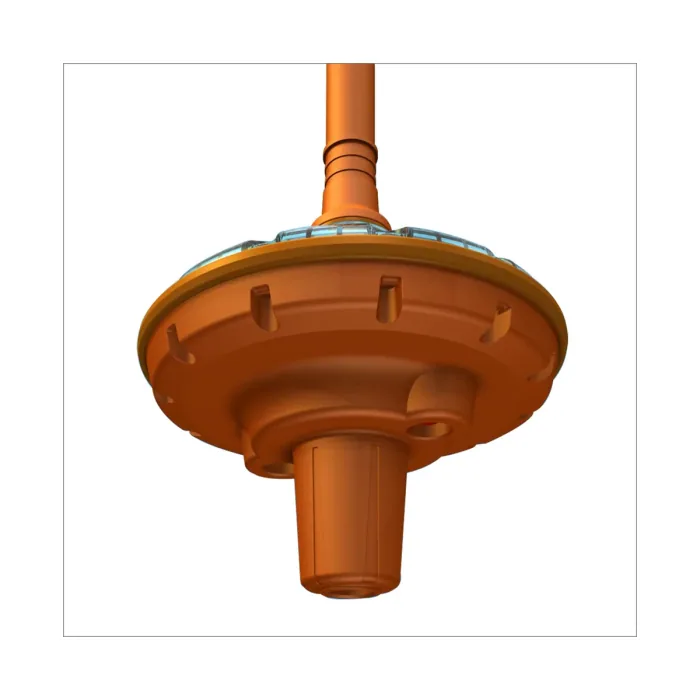
What it takes to put a buoy on AIS
A real AtoN needs a transmitter that can survive on a buoy: waterproof, power-frugal and able to run unattended for a long deployment. AIS buoy trackers are built for exactly this. The SkyNav AT-102 transmits on the standard AIS frequencies at 2 W output, runs on a rechargeable 12.6 V 3200 mAh lithium-ion battery giving up to 20 days of operation at a three-minute reporting interval, weighs 550 g and is rated IPX8. The larger SkyNav AT-206 uses the same 2 W output and battery chemistry in a bigger 850 g housing rated for over a year of operation at the same three-minute interval.
The reporting interval is the design decision that drives everything else. A mark that is meant to be static can report infrequently and last a season. A buoy that is expected to move, or that is being tracked because it might drift, needs to report often and will need servicing or recharging far sooner. Fishing gear markers, current-measurement buoys and temporary construction marks sit at different points on that trade-off.
The shore side
Receiving AIS ashore is a different installation problem from receiving it afloat. A port office, a fisheries control room or a harbour authority typically wants a receiver feeding several systems at once rather than a single chartplotter, and wants it running continuously on mains-derived power.
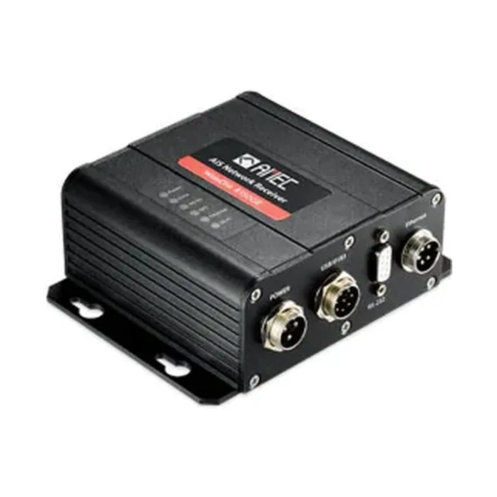
The AMEC R150GE WideLink is built for that role. It is a dual-channel receiver picking up both Class A and Class B messages on the two AIS channels at -112 dBm sensitivity, with data output over two NMEA 0183 RS-422 interfaces, RS-232, USB 2.0 and a 10/100 Base-T Ethernet port, so a traffic display, a logging server and a monitoring application can all be fed simultaneously. It runs from 12 or 24 V DC drawing between 1.5 W and 3 W, carries an IP54 rating and meets ITU-R M.1371, IEC 61162 and IEC 60945. Where a simpler single-output feed is enough, a receiver such as the AMEC CYPHO-150 covers the same two channels over NMEA 0183 or USB.
As with any AIS installation, the VHF antenna does most of the work. A shore receiver's usable range is set almost entirely by antenna height and clear line of sight over the water, not by the receiver itself.
What AtoN does and does not replace
AIS AtoN is supplementary information. A virtual mark is invisible to any vessel without AIS, a real AtoN can fail silently, and a synthetic AtoN is only as accurate as the position the shore station was given. None of it displaces the chart, the light characteristic or the physical mark as the basis for navigation. What it adds is confirmation and speed: a mark that tells you it has moved, and a hazard that can be broadcast the same day it is discovered.
ASPL supplies AIS transponders, receivers and buoy trackers along with the NMEA interfacing and onboard connectivity that shore and vessel installations depend on.